
Machine Control & Civil 3D Support for Sitework Contractors
ContourForge turns civil plans, CAD, and field requirements into clean, contractor-ready files for grading, estimating, and machine control. Practical support built around how work is actually performed in the field.
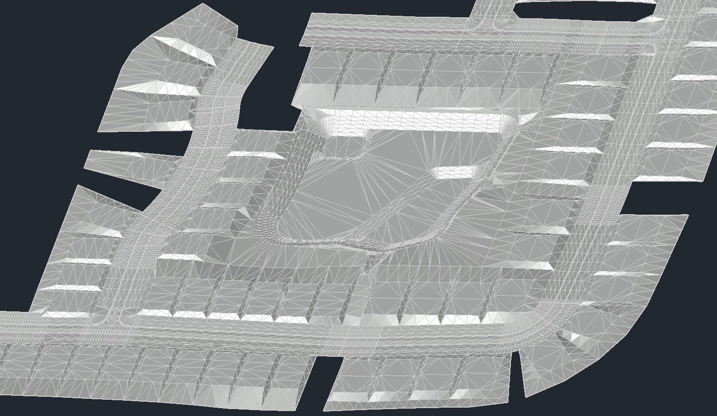
Plans turned into practical construction data.
ContourForge provides machine-control modeling, Civil 3D production, CAD cleanup, and plan-based estimating support for contractors who need dependable technical help without slowing down field operations.
Every file is built with the end user in mind—clean enough to understand, detailed enough to perform, and organized for the contractor’s actual workflow.
Focused support from plans to field.
Scope can be tailored to a single surface, a complete model package, or extra production support during a busy workload.
Machine Control Surface Models
Finished grade, subgrade, building pads, ponds, parking areas, roadways, and site-grading surfaces.
Civil 3D Modeling
Surface development, feature-line modeling, breaklines, grading review, and contractor-focused Civil 3D production.
PDF to Estimating Surfaces
Plan-based surfaces and scaled reference information to support bidding, earthwork review, and early project planning.
CAD Simplification
Cluttered engineer files cleaned and organized into usable linework for field crews, takeoffs, and machine-control workflows.
AGTEK-Ready Packages
Existing and design surfaces, organized linework, report regions, and supporting information prepared around the requested workflow.
Plan & Quantity Support
Plan coordination, grading and drainage review, constructability observations, earthwork support, and selected quantity information.
Files prepared for the way your team works.
Deliverables are confirmed before work begins and adjusted to the equipment, software, and level of detail required for the project.
- Existing, finished-grade, and subgrade surface files
- Clean working linework and plan overlays
- Machine-control files prepared for the requested platform
- AGTEK-ready model and region packages
- Quantity information, reference exhibits, and project notes
Technical support for the teams building the work.
A strong fit for contractors using GPS equipment, preparing bids, or needing dependable Civil 3D capacity without building a full in-house department.
Additional support.
Without additional overhead.
ContourForge can work as a flexible technical extension of your team when workloads increase or specialized modeling is needed—without the cost and commitment of adding another full-time modeling position.

More than CAD behind every file.
ContourForge is built on more than 18 years of land surveying, construction layout, and Civil 3D surface-modeling experience. That field background shapes how grades, drainage, cross slopes, plan conflicts, and constructability are reviewed.
The goal is straightforward: provide clear, accurate files that contractors can confidently put to work.
Have a project you’d like to discuss?
Send what you have—PDF plans, CAD files, existing surfaces, or a short description of what you need. We’ll review it and talk through the best path forward.